
MapAtlas · Mapping APIs & location data

Mapping APIs for a world in motion.

Build with interactive maps, geocoding, routing and street-level data. The location foundation for your apps, shared vehicles, delivery robots and autonomous mobility.

The MapAtlas platform

Your maps. Your data. Your application.

Style the map, find a place, plan a route and add local context. Build the location experience your users need.

Map styling

Your Brand, Your Map

Apply your brand colors, fonts, and layer styles directly to the map. Customize every visual element and ship a map that looks distinctly yours, not a default tile.

Learn more: Map styling

Prebuilt plugins

Interactive Features, Ready to Drop In

Add search bars, route overlays, real-time traffic, and custom markers with a few lines of code. No custom rendering logic required.

Learn more: Prebuilt plugins
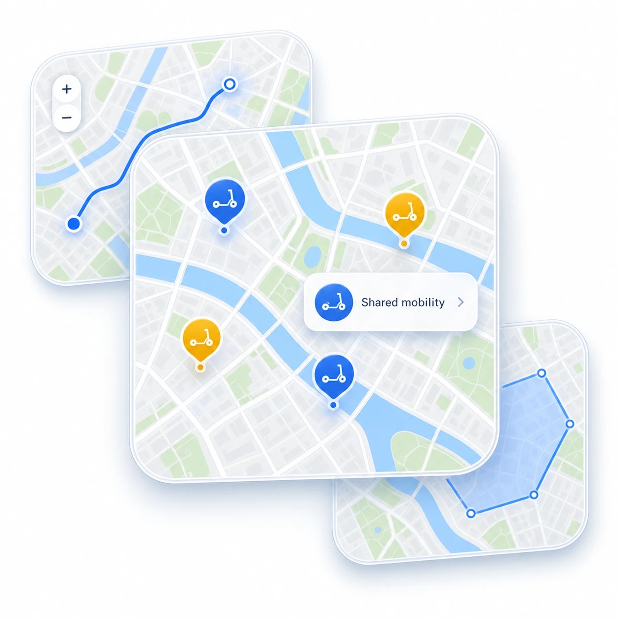
Layered map feature illustration with shared-scooter markers, a route preview, and an area boundary

Points of interest

Let Users Explore What's Nearby

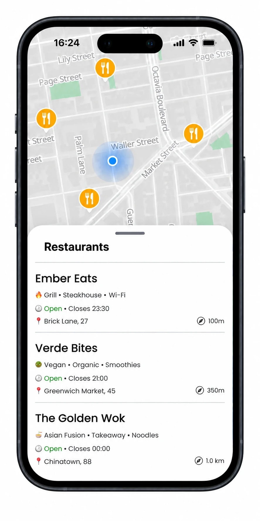
Surface restaurants, transit stops, hotels, and hundreds of POI categories on any map. Your users find what matters to them without leaving your app.

Learn more: Points of interest

Routing & navigation

Find the Best Way There

Build navigation into your app with routes for driving, cycling, and walking. Guide users with turn-by-turn directions, distances, and estimated journey times.

Learn more: Routing & navigation
In 200 mTurn right12 min3.2 kmYour route, step by step.Illustrative route · Example journey

From a coordinate to a complete experience.

Start with the API you need. Add more as your application grows.

Where your mapping takes you.

Put MapAtlas APIs and location data to work in the mobility services you build.

Illustration of shared electric bicycles parked beside a European canal

Mapping for shared vehicles

Locate vehicles. Connect journeys.

Help riders find a vehicle, plan the journey and reach their destination. Bring location search, routes and map matching into your shared-mobility experience.

Vehicle discovery · Routing · Map matching

Explore shared mobility


Illustration of a compact six-wheeled delivery robot on a city pavement

Mapping for robot delivery

Map the pavement and the last mile.

Give delivery teams a clearer picture of the pavement. Work with sidewalks, crossings, kerbs and address context to plan your operating area.

Sidewalks · Crossings · Address context

Explore delivery mapping
Illustration of a silver autonomous car with a roof sensor on a city street

Mapping for autonomous mobility

Give road data more meaning.

Add meaning to the road network: lane connections, traffic controls and speed limits. A semantic map layer for the teams building self-driving vehicles.

Road networks · Lane connectivity · Traffic controls

Explore autonomous mobility

Also from MapAtlas

Help places get discovered, too.

Explore structured location data and AI search visibility for businesses, properties and listing platforms.

Explore AI search visibility

Frequently asked questions

What does MapAtlas provide?

MapAtlas provides mapping APIs and location data, including dynamic maps, geocoding, search, routing, map matching and street-level context. Use them to build mobility services and other location-based applications.

How can MapAtlas support shared vehicles?

Location search, routing and map matching can support vehicle discovery, trip planning and journey analysis in shared-mobility applications. Explore our shared-mobility solutions or talk to us about your service.

What data is available for delivery robots and autonomous vehicles?

Our autonomous-mobility offering covers semantic road and pavement context, including lane connectivity, sidewalks, crossings, kerbs and traffic controls. Data scope, coverage, formats and delivery cadence are agreed for your operating area.

Does MapAtlas provide the autonomous driving system?

MapAtlas provides the location and semantic map layer. Vehicle perception, driving decisions and vehicle control remain part of the operator’s autonomous system. Our semantic data is not a centimetre-accurate HD survey.

Can I still use MapAtlas for a regular website or app?

Yes. Map styling, search, geocoding, routing and location data are available for websites and applications across industries, including property, tourism and logistics.

How do I get started?

Create an account to explore the mapping APIs. For delivery robotics, autonomous mobility or a specific data requirement, contact our team with your operating area and the layers you need.

What will you build with better maps?

Tell us about your application, operating area and data needs. We’ll help you find the right mapping APIs and location layers.